The Nantucket Porch
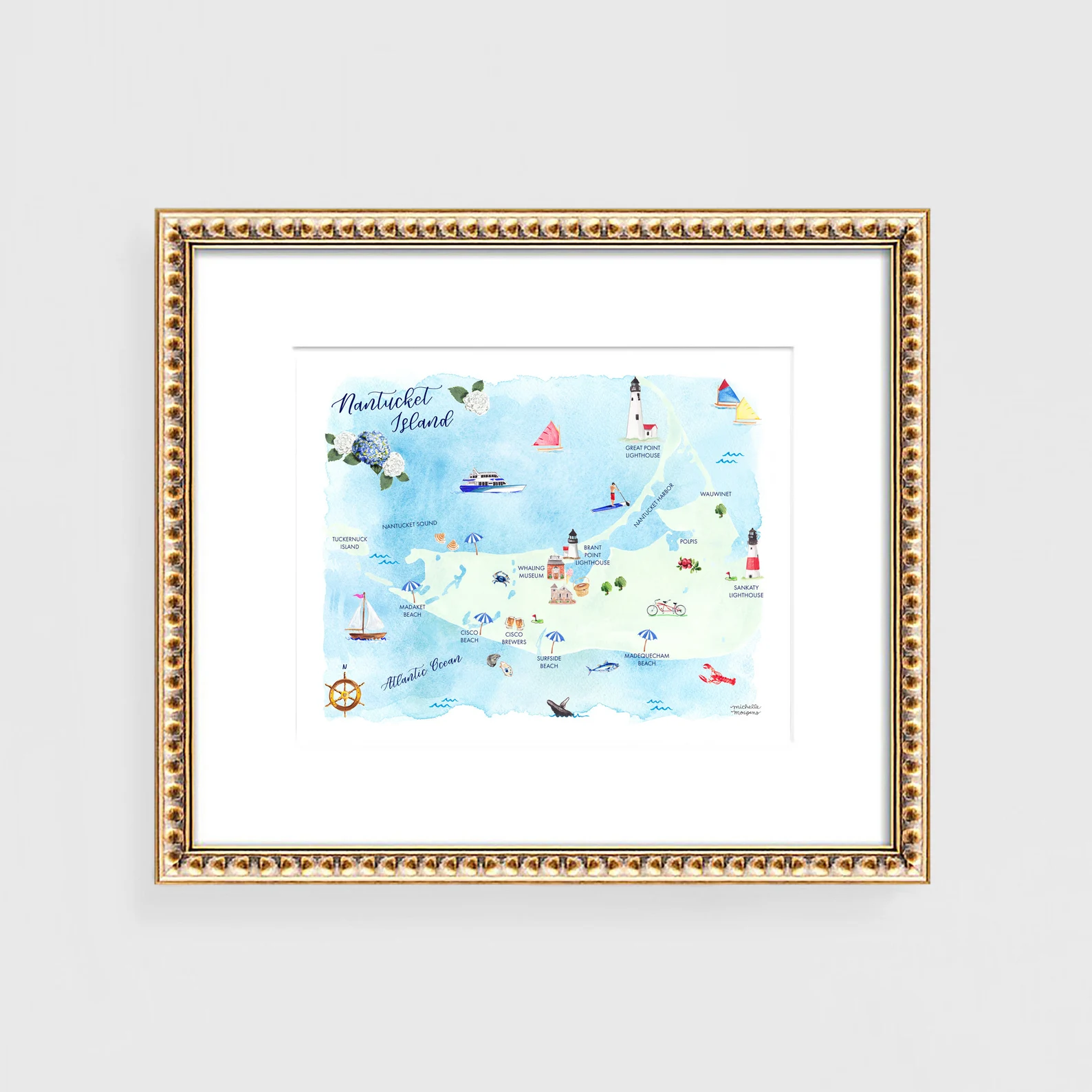
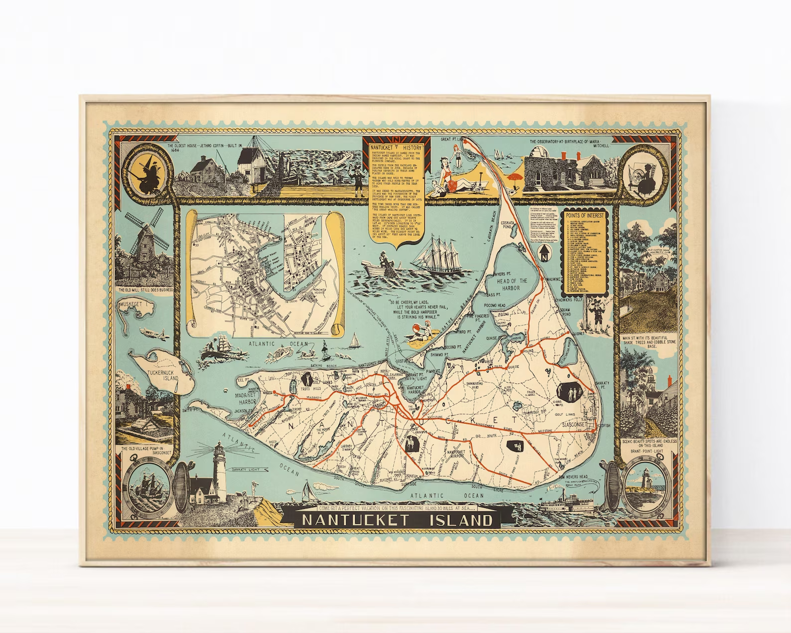
Old Map of Nantucket Island 1946 — Antique Pictorial Map Print
Editor's Note
"The beloved 1946 pictorial map — Madaket to Siasconset with the Old Mill, Brant Point Light, a town inset and the island's history told in rope-bordered panels. The framed piece that anchors a captain's library or a harbor-side mudroom."
As an Amazon Associate & affiliate partner we may earn from qualifying purchases.
- Category
- Florals & Art
- Collection
- The Nantucket Porch
Styled Together
Complete the Look
The companion pieces our editors would layer alongside this find.
Indoor Furniture
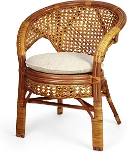
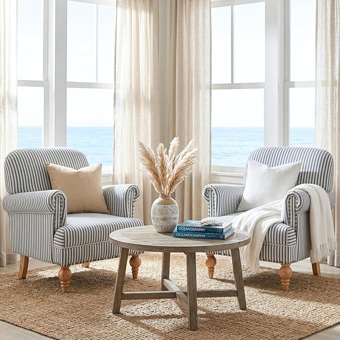
Pelangi Handmade Rattan Wicker Colonial Chair with Cushion
Outdoor Furniture
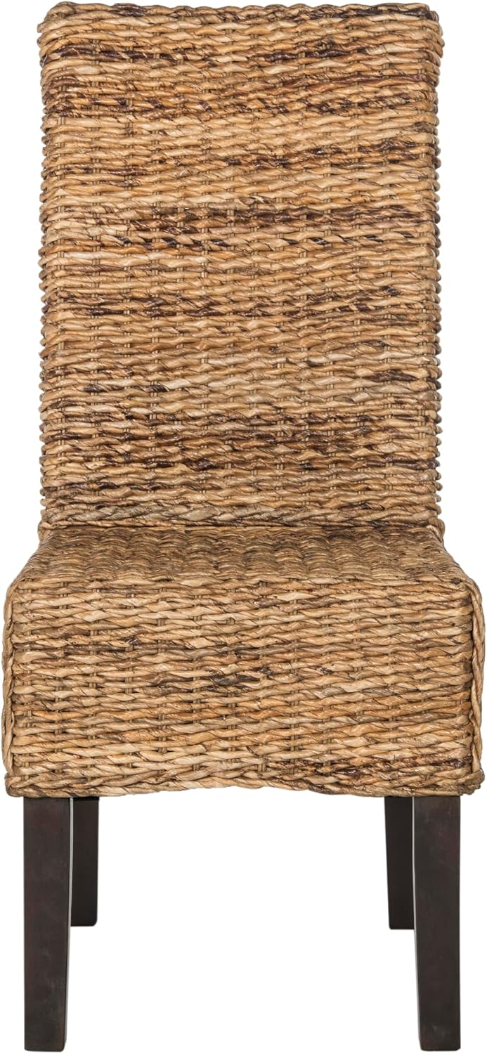
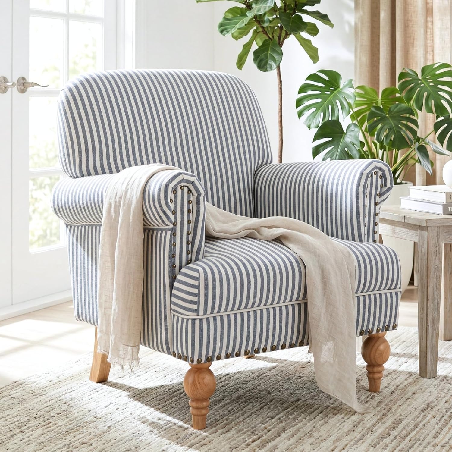
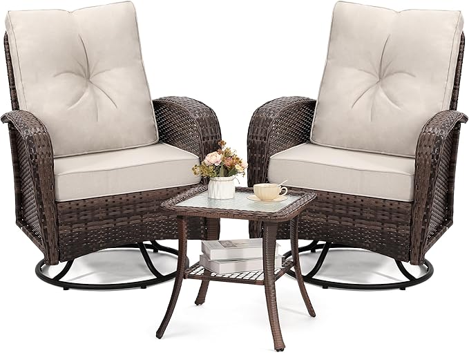
wildformers Outdoor Wicker Swivel Rocker Chair Set (3-Piece with Side Table)
As Seen In
Featured In
The Nantucket Charm magazine stories where this piece plays a starring role.
In Context
Seen In These Rooms
How our editors have styled the old map of nantucket island 1946 — antique pictorial map print — every piece in each photograph is shoppable.
Room Inspiration № 64
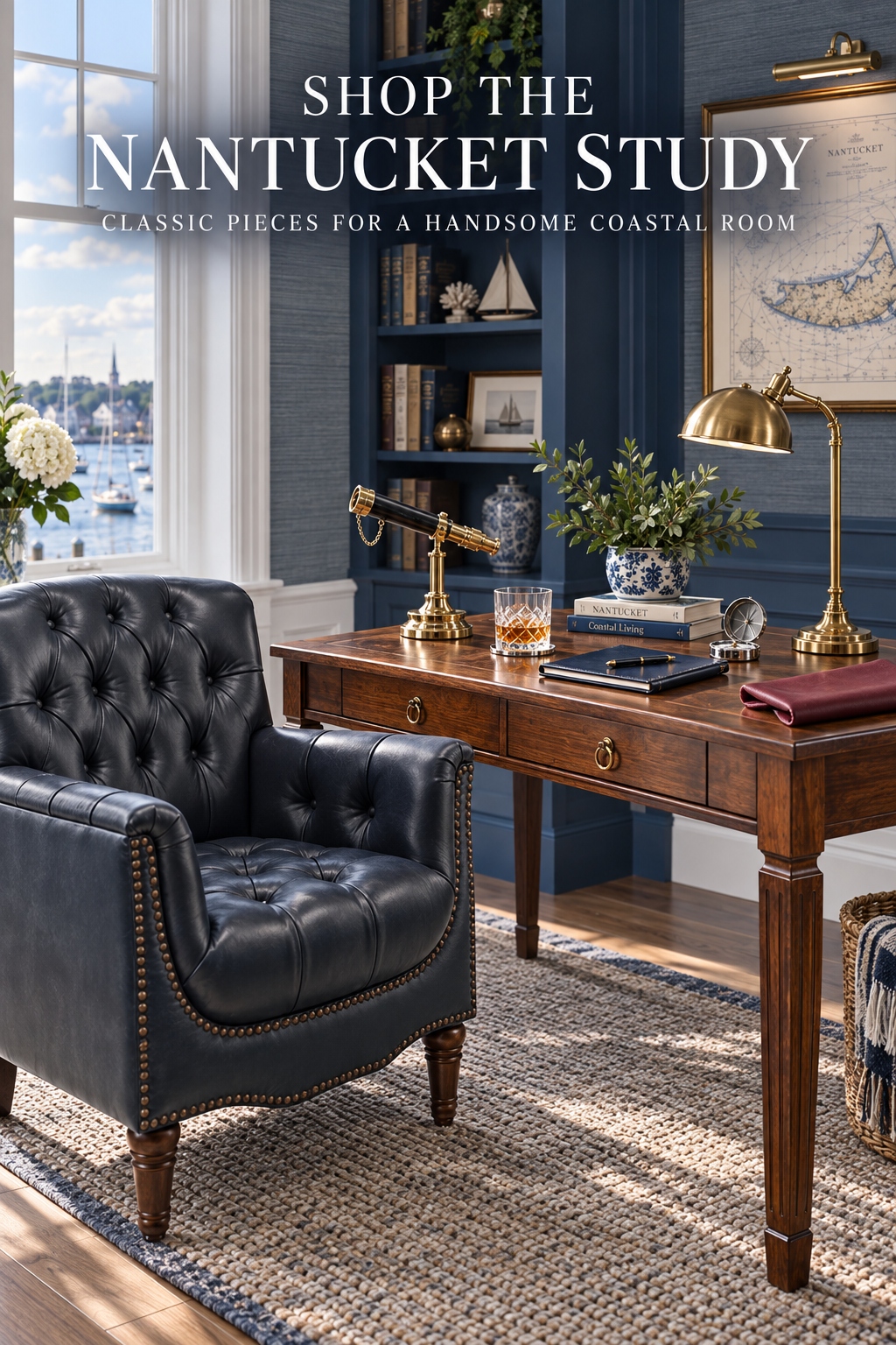
The Nantucket Study & Library
A handsome harbor-side study built around navy millwork, a warm wood writing desk and a deep tufted leather chair. Brass lighting, a working telescope, an island map and shelves of blue-spined books give it the collected feeling of a captain's library without turning nautical into a theme. The desk is styled in five — telescope, books, hydrangeas, compass and notebook — while a tailored rug and cocktail cart soften the room. Every desk, leather chair, rug, telescope, bar piece and masculine coastal accent is linked below.
Shop this room →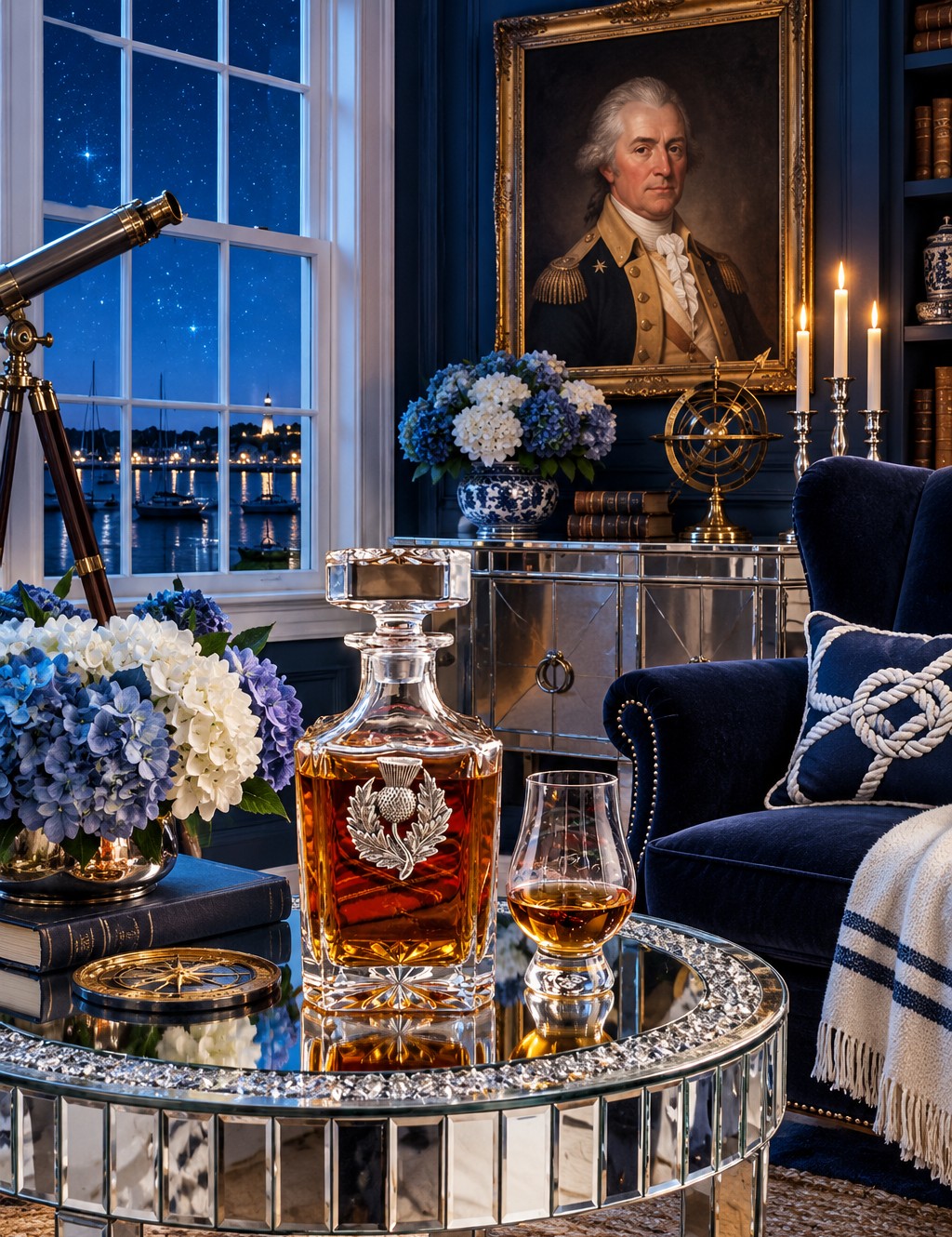
Room Inspiration № 82
The Celestial Heritage Study — St. Clair Portrait, Thistle Decanter & Mirrored Table
A navy study for starry harbor nights, built around a family portrait of General Arthur St. Clair. A Scottish thistle decanter and whisky glass sit on a crystal-edge mirrored table, a brass telescope points at the stars, and a Jerusalem Cross tapestry and a 1946 Nantucket map hang on the walls. Navy velvet, a rope-knot pillow, mercury-glass hurricanes and blue hydrangeas in chinoiserie jars soften the room. Shop every piece from the pins below.
Shop this room →Keep Looking
You May Also Like
Similar finds in the same spirit, chosen for shape, palette and price.